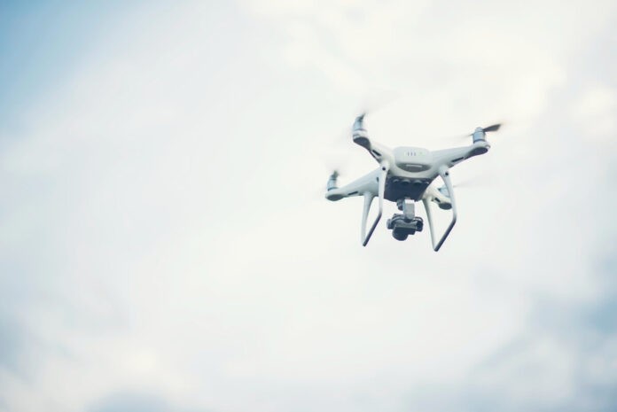
The Survey of India (SoI) is planning to prepare a large-scale topographical map of a few districts with the help of drones.
Story so far: The new map aims to cover 51,000 sq km of land including areas in Ramnagar, Bengaluru Urban, Hassan, Belagavi, Uttara Kannada and Tumakuru districts. This is a result of an MoU signed between the Survey of India and Karnataka’s Revenue Department in February 2019.
- So far, 2,664 villages have been mapped using drones, and the current map scale is 1:500.
- Earlier, the maps had a scaling of 1:50,000, but now SoI is working on high-resolution maps that can even show external furniture.
Modernising records: Since every asset will be mapped in detail, it will allow the revenue and municipal departments to modernise their records.
- The SWAMITVA project claims that the details provided by the new maps will provide a ‘record of right’ to village homeowners and in turn, these can be used as a financial asset for taking loans.

