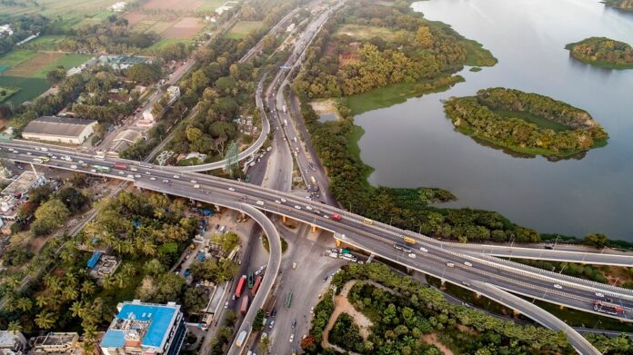
Bengalureans can now walk through a model of the city’s roads to understand routes better.
Story so far: The BBMP, in collaboration with The Ugly Indian (TUI) and Brigade Borders, has constructed a scale model of Bengaluru roads near Hebbal Junction as part of its junction improvement plan. A tour of the model will help people better understand road routes in different zones of the city.
- The model includes Bengaluru’s entire road network, including the inner roads, ORRs, and flyovers. Supplementing it is an interpretation board that traces the city’s history from Kempe Gowda’s era to the present.
- The creators first designed a smaller map of Bengaluru’s roads which mapped the eight roads emanating from the Central Business District. Subsequently, the creators scaled the map to a bigger model.
Why it matters? Since several people don’t understand the roads they traverse frequently, the road model will help citizens mind-map the city better. It is also likely that people frequent some zones more than others, and this model will fill in those knowledge gaps about other areas in the city. The BBMP believes this is a unique project, the likes of which cannot be found even in museums.

